
Hiking trails and viewpoints on Koh Tao: a complete visitor guide
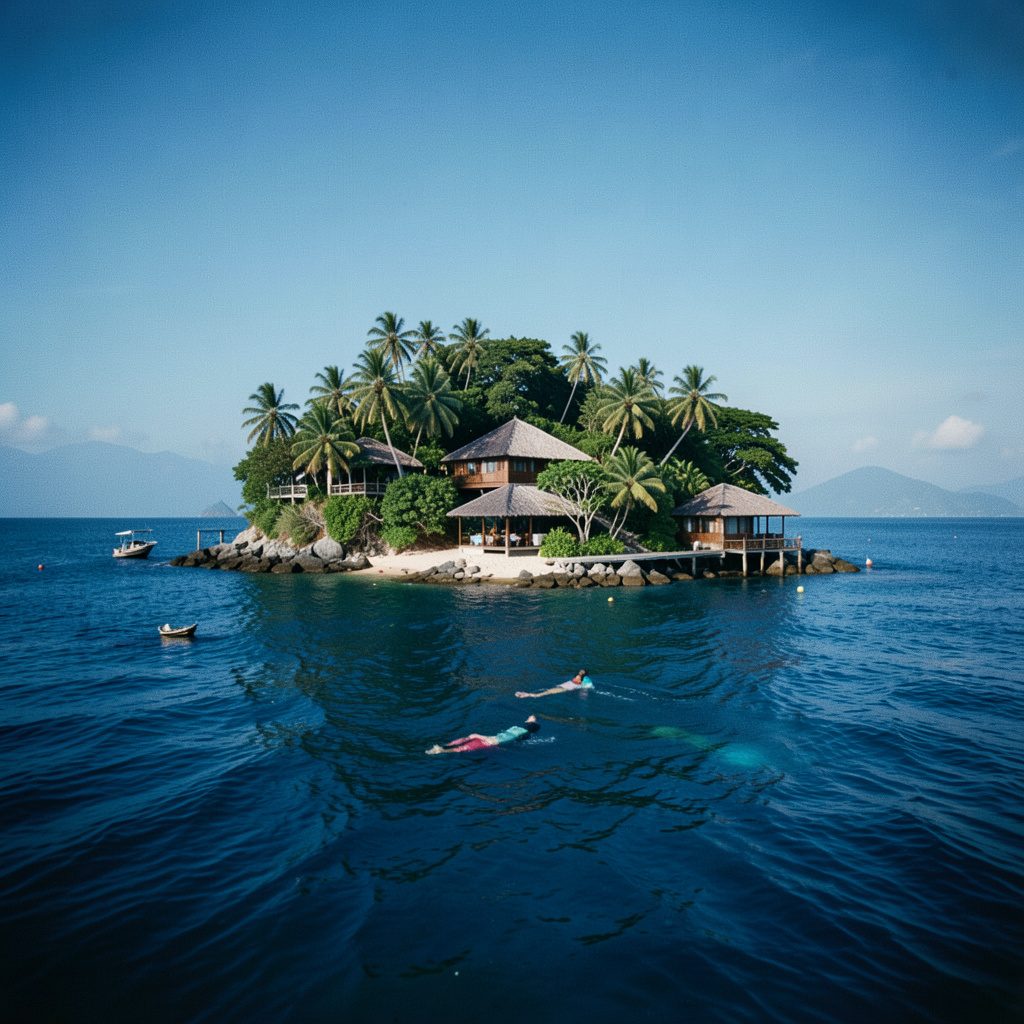
Koh Tao sits in the Gulf of Thailand like a small emerald pendant, and while most travellers arrive for the warm water and vibrant coral, the island's interior offers a quieter kind of reward. The hiking paths weave through granite outcrops, rubber plantations, and scrubby ridges that drop down to hidden bays. For Australian visitors used to the long tracks of the Larapinta or the day walks of Wilsons Promontory, Koh Tao's trails offer a different scale: shorter, steeper, and often finishing with a swim.
Travellers planning their trip can explore more trip planning details alongside accommodation and dive bookings, which keeps everything in one place. Most Australians route through Bangkok or Singapore, then catch a connecting flight to Chumphon or Surat Thani, and finish the journey with a ferry crossing that can be choppy in the wet season.
Reaching Koh Tao from Australian gateway cities
Flights from Sydney and Melbourne to Bangkok typically take around nine hours, with Brisbane services running slightly shorter. Perth travellers often transit through Singapore or Kuala Lumpur, and many find the overnight connection works in their favour. Once on the mainland, the rail and ferry combination via Chumphon remains the cheapest route, while the Lomprayah catamaran from Surat Thani suits those who want a faster crossing.
Australian backpackers regularly combine Koh Tao with stops in Khao Sok or on the mainland beaches, which makes the island a flexible middle chapter. Budget travellers from Adelaide and Hobart usually find the cheapest fares via Kuala Lumpur, though the layover can stretch to six hours. Smartraveller registration is recommended before departure, and the standard advice about travel insurance applies just as it would for any trip through Southeast Asia.
Trails at a glance: difficulty, distance, and reward
The network of footpaths on Koh Tao is informal, marked in places with faded ribbons and painted rocks. The table below summarises the most walked routes so visitors can match the climb to their energy level.
| Trail | Approx. length | Difficulty | Best feature |
|---|---|---|---|
| Mae Haad to Chalok Baan Kao | 4 km one way | Easy | Coastal views, village stops |
| Tanote Bay loop | 3 km return | Moderate | Sea-cliff lookout |
| John Suwan Mountain | 2.5 km return | Challenging | 360° summit panorama |
| Nang Yuan Island causeway | 1.2 km return | Easy | Sandbar and reef views |
| Lighthouse path | 2 km return | Moderate | Sunset watching, bay views |
These distances are rough estimates and locals adjust them depending on the season. Many walkers treat the Tanote Bay loop and the lighthouse path as evening options when the sun drops lower in the sky.
Easy coastal walks and bay-to-bay strolls
The southern stretch from Mae Haad to Chalok Baan Kao is the most forgiving walk on the island. The path shadows the coast, passes a few family-run shops, and opens up regularly to small bays where the water turns from turquoise to deep blue. Australian visitors who enjoy the gentle gradients of the Great Ocean Walk often comment that this route feels similar, though the vegetation is unmistakably tropical.
The Nang Yuan Island causeway involves a short boat ride from the main pier and a small entry fee, but the walk across the sandbar to the viewpoint at the top of the island rewards visitors with a postcard view of three islets joined by white sand. It suits families and those who prefer a gentle incline to a serious climb. Early morning is best, both for cooler air and for clear views out to the horizon.
Summit climbs for stronger walkers
John Suwan Mountain, sometimes called the viewpoint mountain by locals, is the steepest and most rewarding climb on the island. The trail climbs roughly 250 metres through rubber trees and over loose granite, with ropes in place for the trickier sections. The summit reveals Koh Tao laid out below, and on clear days the twin islands of Nang Yuan seem close enough to swim to.
Mature bushwalkers from Australia often compare the climb to Federation Peak in Tasmania for the exposure and scrambling, though the distance is far shorter. Walking poles help on the descent, and locals find the rocks shift after rain. Most people complete the round trip in two to three hours, leaving time for a snorkel in the bay below before the afternoon heat settles in.
Sunset viewpoints and photography spots
The lighthouse path on the southeast coast has become a favourite for golden-hour photography. The climb is short but steep, finishing at a platform where the lighthouse sits against an open horizon. Camera-toting visitors from Sydney and Brisbane often arrive an hour before sunset to claim a spot, since the small clearing fills quickly with day-trippers from the dive boats.
A second option is the ridge above Mango Bay, reached by a narrow track that starts behind a row of beach bungalows. The view faces west, and the angle catches the sun dropping behind the limestone karst that forms Koh Tao's spine. Drone pilots should note that several viewpoints fall within local drone-restricted zones near the dive sites, so checking the noticeboards saves a fine.
Practical safety and gear advice
Koh Tao's climate is humid year-round, and the trails turn slippery after the afternoon storms that roll in from May to October. Trail runners with solid grip outperform sneakers, and a refillable water bottle is essential since the island's tap water is not recommended for drinking. Australian visitors accustomed to the marked routes of national parks should remember that signage here is minimal, and offline maps on a phone are far more reliable than paper guides. The untreated water note aligns with broader Australian biosecurity rules about not bringing untreated water or soil back through customs, which helps keep local ecosystems safe.
Local dive shops often lend walking poles or reef-safe sunscreen to guests, and many offer guided hikes for first-time visitors. Travellers who need visa assistance services before the flight can sort paperwork online and avoid the queues at the Thai embassy in Canberra. Travel insurance that covers hiking above a certain altitude is worth checking, since a few domestic policies exclude steep terrain.
Pairing hiking with your dive course booking
Most travellers come to Koh Tao for the underwater world, and the hiking paths make a perfect land-based break between dive sessions. A common pattern is to complete the morning dive, eat lunch at the bungalow, and then tackle a short walk in the cooler late afternoon. The dive schools on Sairee and Chalok Baan Kao routinely suggest routes that match certification levels, since newer divers should keep exertion light.
Slotting the trails into a dive trip adds variety without extra cost, and the elevated views help visitors understand the shape of the bays they will later explore beneath the surface. Booking a hillside villa or bungalow resort through Koh Tao Island keeps the logistics tidy, with pickup points close to the main trailheads. Visitors who want a slower pace can spend a full rest day on the hikes and save the deeper dive sites for the following morning.